Petauro Systems® Forensic Aerial Mapping™ and 3D Modeling
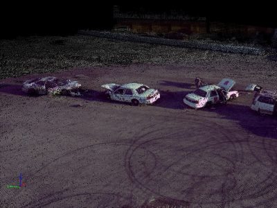
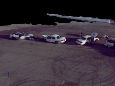
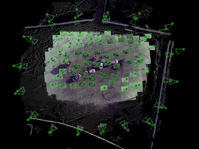
Petauro Systems® Forensic Aerial Mapping™ and 3D Modeling is intended for all law enforcement and firefighter investigators who need to take highly accurate measurements and create diagrams and maps. The course teaches students how to use aerial and terrestrial images to create point clouds, 3D models and orthomosaic images using Pix4Dmapper software.
This course is suitable for students with any level of UAS experience.
Course Content
- Theory and science of photogrammetry
- Camera properties, controls, calibration and ground sample distance
- Best practices for acquiring aerial imagery
- Georeferencing, project accuracy and ground control
- General and advanced processing workflows
- Merging oblique and nadir imagery and manual tie points
- Making linear, area and volumetric measurements
- ASPRS Positional Accuracy Standards and reporting
- 3D reconstruction of scenes and vertical structures
- Generating video animations
- Case law, validation testing and error reporting
Course Materials
Classroom. All students need to bring a laptop computer (or other device) with a USB port and Adobe Reader installed. Student reference materials will be distributed on USB flash drives (files will allow electronic comments and highlighting that can be saved).
Computer Requirements – Minimum.
- Windows 7, 8, 10, Server 2008, Server 2012, 64 bits (PC or Mac computers using Boot Camp).
- Any CPU (Intel i5/ i7/ Xeon recommended).
- Any GPU that is compatible with OpenGL 3.2. (integrated graphic cards Intel HD 4000 or above).
- Small projects (under 100 images at 14 MP): 4 GB RAM, 10 GB HDD Free Space.
- Medium projects (between 100 and 500 images at 14 MP): 8 GB RAM, 20 GB HDD Free Space.
Computer Requirements – Recommended.
- Windows 7, 8, 10 64 bits.
- CPU quad-core or hexa-core Intel i7/Xeon.
- GeForce GPU compatible with OpenGL 3.2 and 2 GB RAM.
- Hard disk: SSD.
- Small projects (under 100 images at 14 MP): 8 GB RAM, 15 GB SSD Free Space.
- Medium projects (between 100 and 500 images at 14 MP): 16GB RAM, 30 GB SSD Free Space.
Who Should Attend
Any sworn or civilian crash, crime scene or arson investigator wanting to take accurate measurements and create photo-realistic 3D models from aerial and terrestrial images. Students are not required to have a Remote Pilot Certificate or UAS flight experience.
Course Details
Tuition: $750 ~ Discounts may apply
Contact Hours: 40 hours
Class Times: 8:00am – 5:00pm
Location: Varies – See Scheduled Courses
 This course is approved for 40 ACTAR Continuing Education Units.
**Colorado POST certified officers may be eligible for a scholarship to pay for some or all of this course. Please complete the application form and follow the submission instructions.**


